Lewis and Clark Expedition, Part 6: The Wonders of the Upper Missouri River
On May 26, 1804, Captain Meriwether Lewis noted in his journal that he “beheld the Rocky Mountains for the first time…covered with snow and the sun shone on it to give me the most satisfactory view.” Soon thereafter, the Corps came upon the Missouri River Breaks, what Captain Clark called the “Deserts of America,” a stretch of 160 miles running from today’s Fort Benton to Fort Peck Lake, where the Missouri courses between 300 foot tall canyon walls; it remains one of the most remote parts of America. But perhaps the most wondrous site they experienced on their entire journey was the Great Falls of the Missouri, which Lewis called “the grandest site I ever beheld.”
Tom Hand, creator and publisher of Americana Corner, discusses the wonders of the Upper Missouri River as seen by Lewis and Clark, and why it still matters today.
Images courtesy of the National Gallery of Art, Wikimedia, Yale University Art Gallery, Indiana Historical Society, SMU Libraries, Smithsonian American Art Museum, Wikiart, Gilcrease Museum.


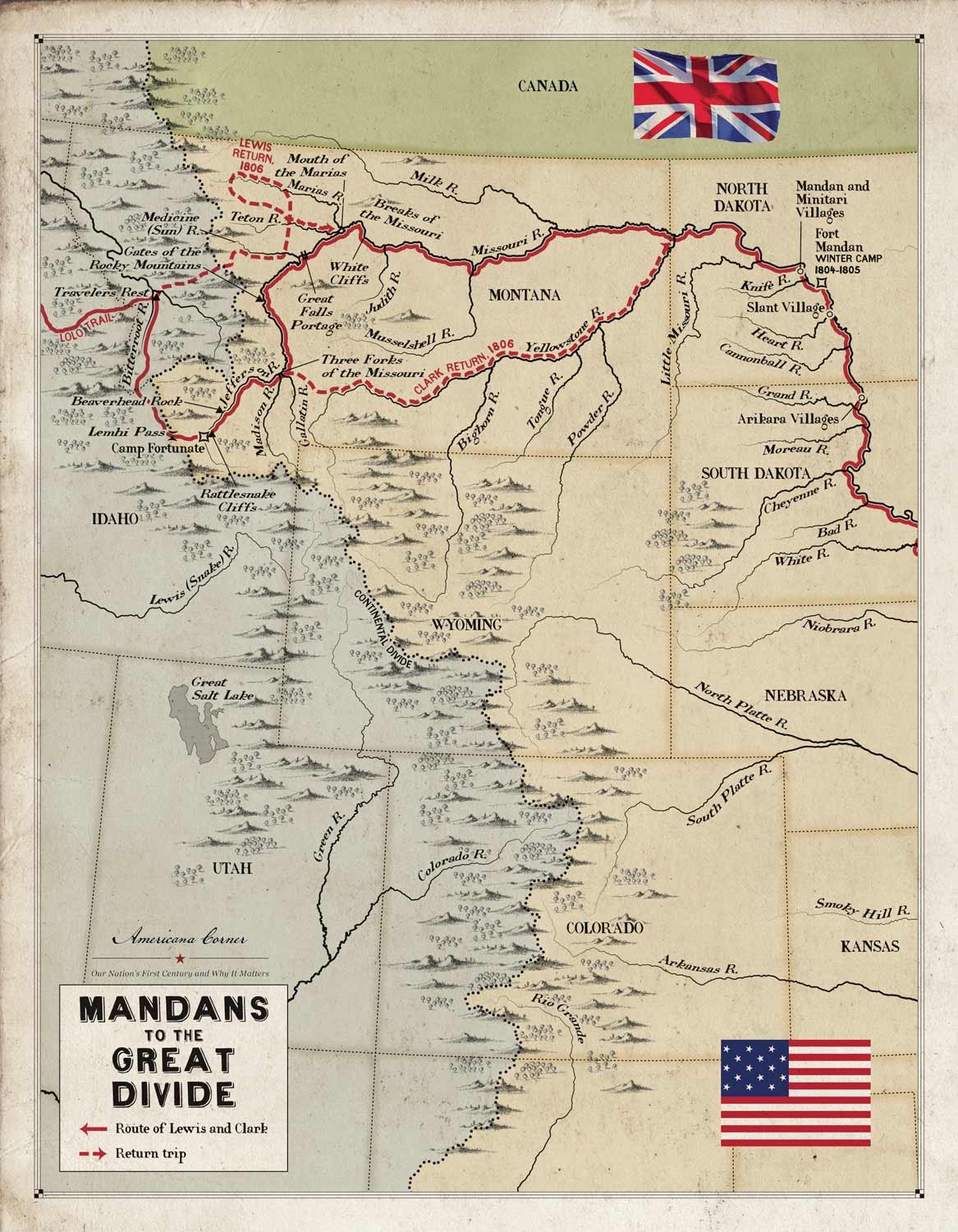
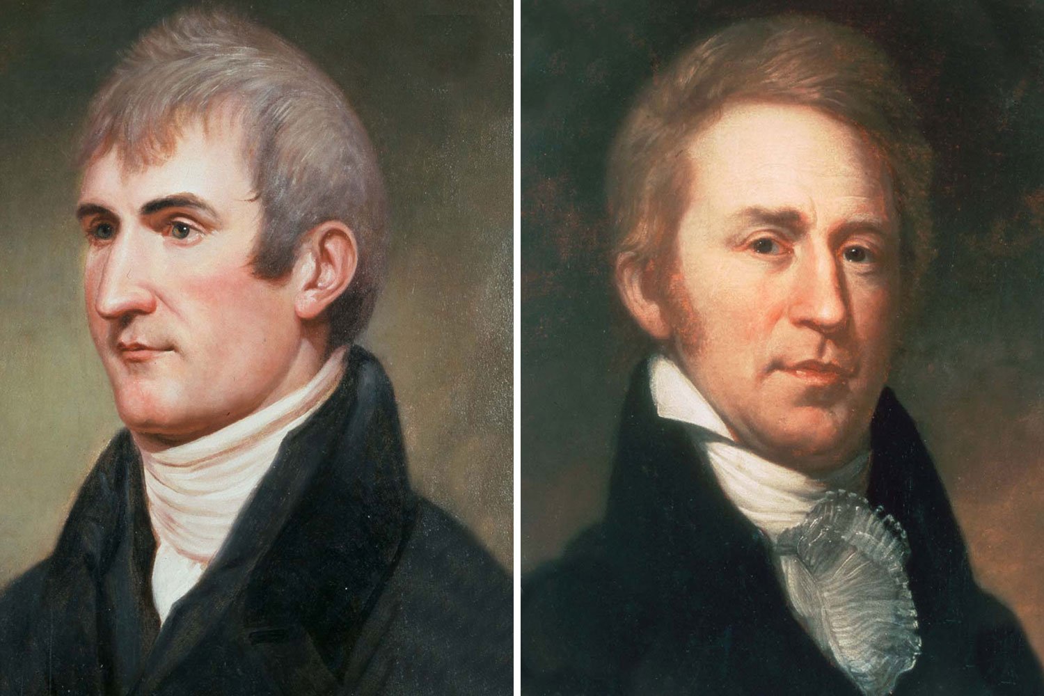
Captains Meriwether Lewis and William Clark had guided the Corps of Discovery four thousand miles to the Pacific Ocean, and they planned to continue their explorations on the return leg of their journey. The plan was to temporarily split up the Corps with Clark taking one group to descend and explore the Yellowstone to its junction with the Missouri, Sergeant Ordway leading another party to the Falls of the Missouri and there make preparations to portage the Falls, while Lewis was to lead a third group up the Marias River and determine its northern most latitude to further establish the boundaries of the Louisiana Purchase.