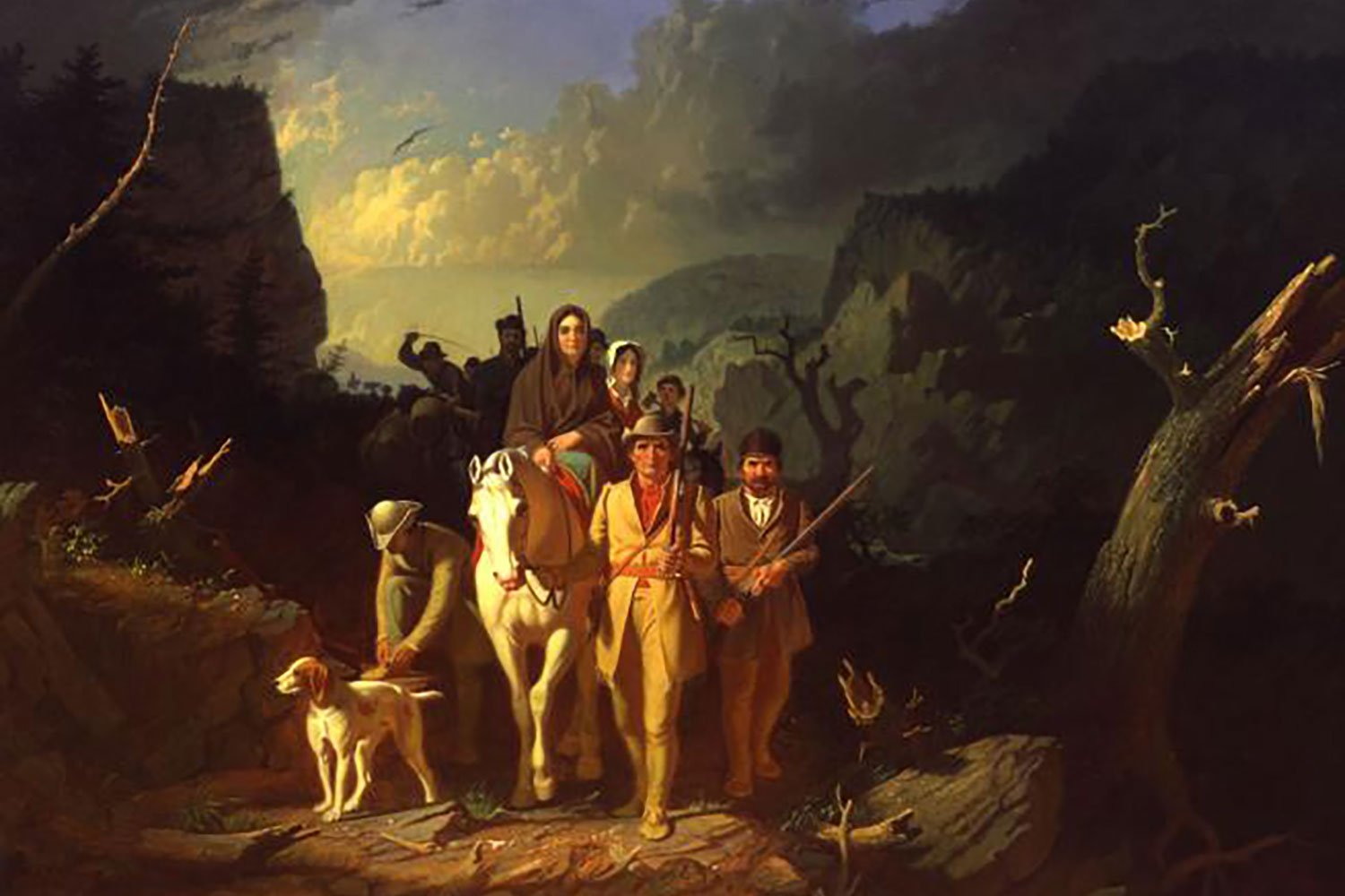
Heading to Kentucky on the Wilderness Road
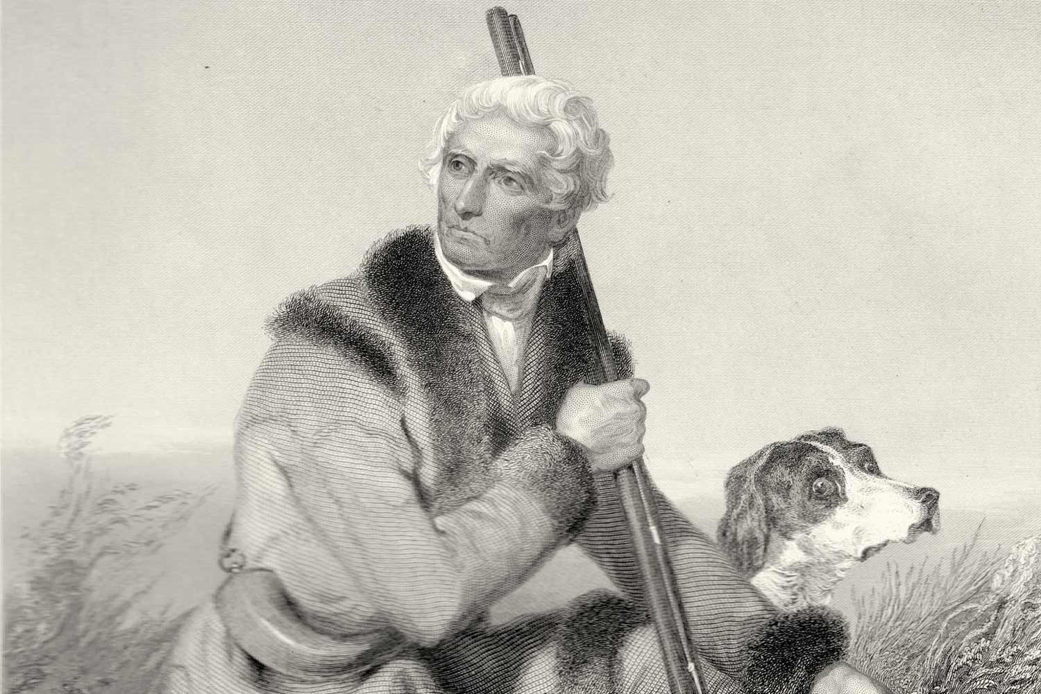
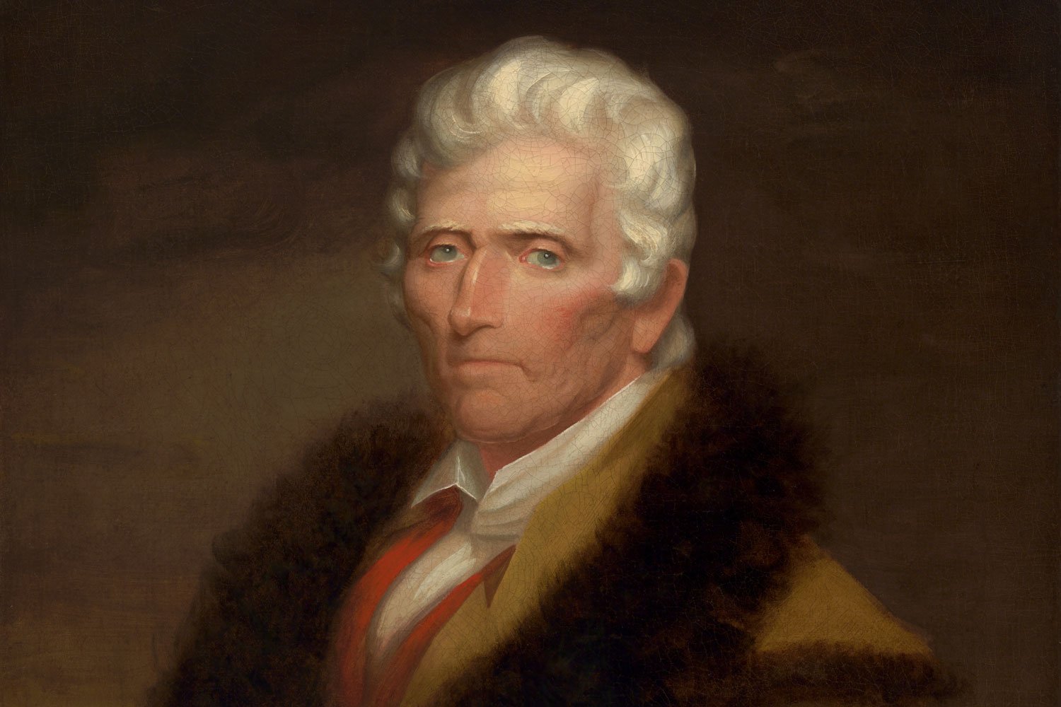
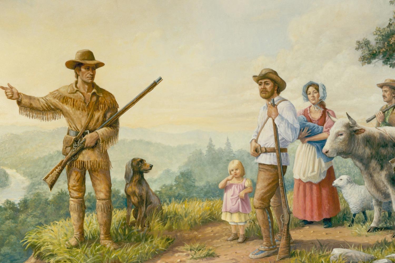
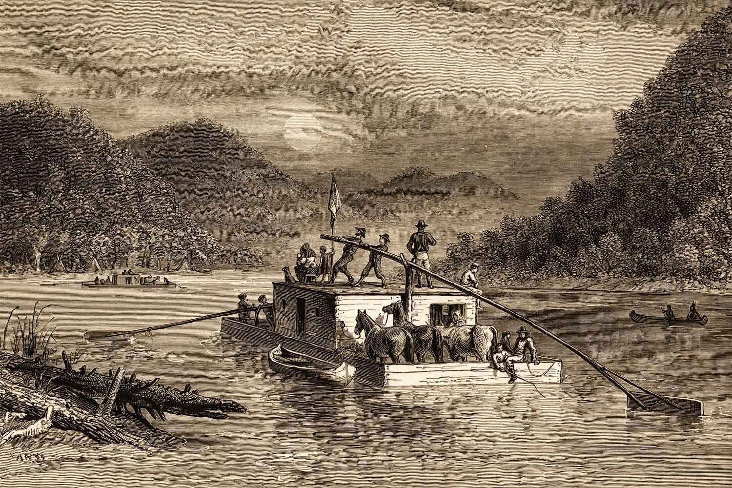
The Wilderness Road, running from northeast Tennessee through the Cumberland Gap, was the main thoroughfare from 1775 to 1820 for Americans heading west into the new promised lands of Kentucky. The pathway, blazed by Daniel Boone, was our nation’s first migration highway, but the trip was not for the faint of heart.
Tom Hand, creator and publisher of Americana Corner, explores how western migration allowed our young nation to expand its boundaries and begin to harvest the region’s incredible riches, and why it still matters today.
Images courtesy of National Park Service, North Carolina State Archives, Library of Congress, Britannica Online, New York Public Library, Yale University Art Gallery, Wikipedia.
RELATED ARTICLES


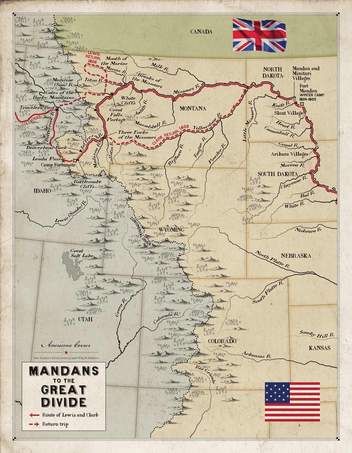
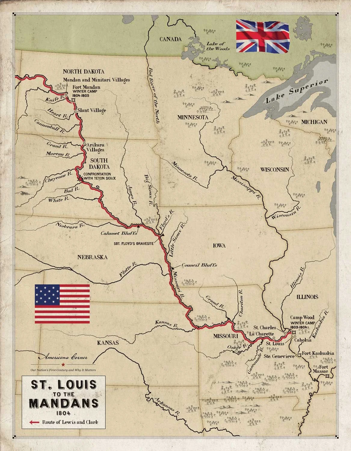
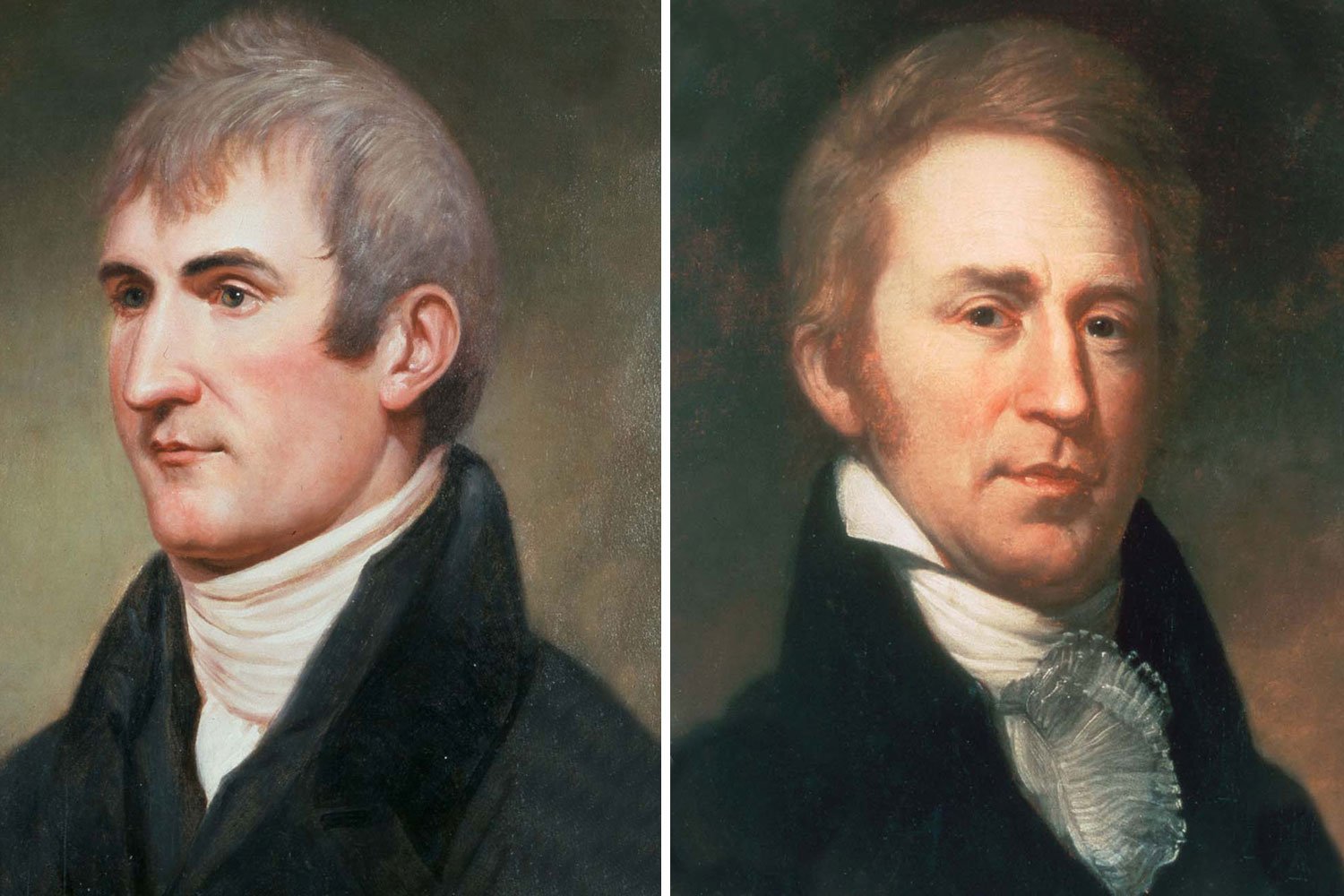
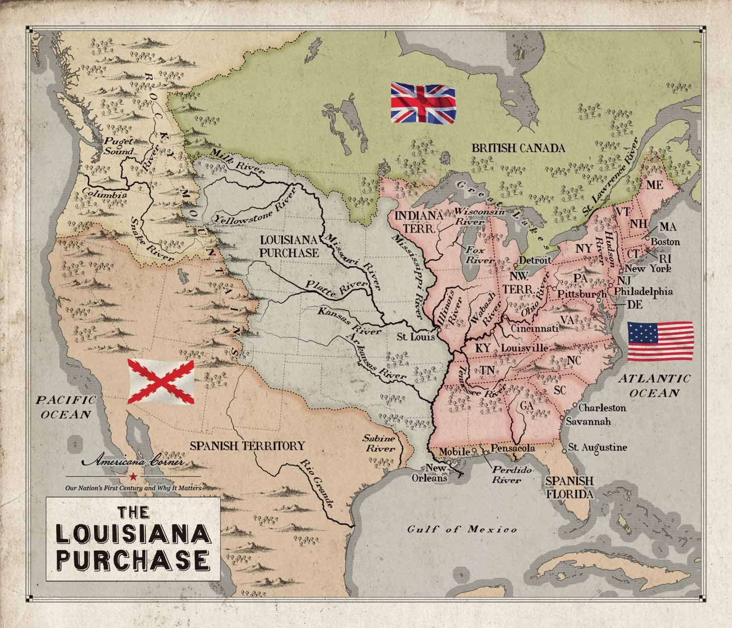
Captains Meriwether Lewis and William Clark had guided the Corps of Discovery four thousand miles to the Pacific Ocean, and they planned to continue their explorations on the return leg of their journey. The plan was to temporarily split up the Corps with Clark taking one group to descend and explore the Yellowstone to its junction with the Missouri, Sergeant Ordway leading another party to the Falls of the Missouri and there make preparations to portage the Falls, while Lewis was to lead a third group up the Marias River and determine its northern most latitude to further establish the boundaries of the Louisiana Purchase.